Peeking From the Sky: How to Become Your Own Satellite Sleuth (Without Breaking the Bank)
Muhe - Thursday, 10 July 2025 | 03:00 AM (WIB)
Your Free Ticket to Orbit: The Everyday Tools
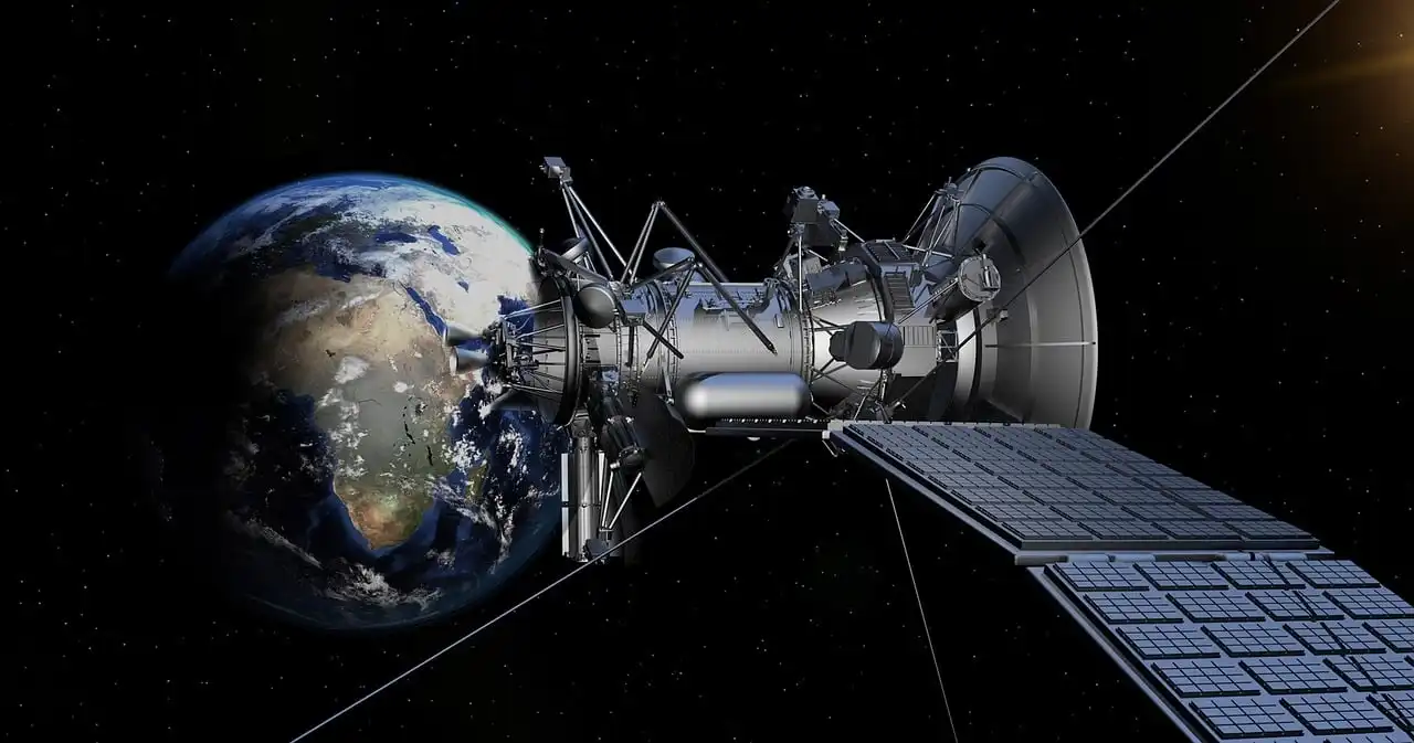
Let’s be real, when most people think about looking at the Earth from space, one name instantly pops into mind: Google. And for good reason! Google has absolutely revolutionized our access to geographic information, and its satellite imagery capabilities are second to none for the average user. The undisputed king of accessible satellite views is undoubtedly Google Earth (and its simpler cousin, Google Maps). If you haven't taken a virtual spin lately, you're missing out. This isn't just a flat map; it's a dynamic, 3D globe you can literally fly around. Want to zoom in on the pyramids of Giza? Done. Curious about the winding rivers of the Amazon? Go for it. But it gets even cooler. Google Earth often has an "historical imagery" slider. This is a total game-changer. You can literally go back in time, seeing how your neighborhood has changed over the last decade or two. It’s like a digital time machine for geography buffs, showing urban sprawl, deforestation, or even where that old tree in your yard used to be before it finally bit the dust. And don’t even get me started on Street View, which, while not satellite imagery, complements it perfectly by dropping you right onto the street level for a ground-up perspective. But what if you're less interested in static historical views and more into what's happening *right now*? Say hello to NASA WorldView. This fantastic, free tool from NASA’s Earth Observing System Data and Information System (EOSDIS) is a treasure trove for anyone interested in real-time environmental events. We're talking daily imagery from a whole host of NASA and NOAA satellites. Want to track the progression of a wildfire in California? See the latest ice melt in the Arctic? Or even watch a dust storm sweep across the Sahara? WorldView lets you do exactly that, often with imagery that's just a few hours old. It's less about the perfect, high-res snapshot of your house and more about dynamic global phenomena, making it indispensable for educators, researchers, and anyone with a passion for understanding our living planet. Then there's Sentinel Hub Playground. This one might sound a little more technical, but trust me, it’s worth a look. Powered by data from the European Space Agency’s (ESA) Sentinel missions, this web-based platform offers a different flavor of satellite imagery. While Google provides a polished, integrated experience, Sentinel Hub gives you more raw access to various spectral bands. What does that mean? Well, instead of just a pretty picture, you can use different light wavelengths to highlight specific features, like vegetation health, water bodies, or even recent burns. It's a fantastic tool for environmental monitoring, agriculture, or just plain geeking out over how different wavelengths reveal different aspects of our world. It’s a bit like having a superpower to see beyond visible light. Finally, let's not forget about the unsung hero, OpenStreetMap (OSM). While OSM itself is a collaborative, open-source map rather than a direct satellite imagery provider, it heavily relies on and often integrates satellite imagery as a base layer for its incredible community of mappers. If you're using an app that uses OSM data, chances are you're indirectly benefitting from satellite images that volunteers have traced over to create incredibly detailed, up-to-date maps of everything from obscure hiking trails to individual building footprints. It's a testament to how satellite data can empower community-driven initiatives.When You Need More Than a Glimpse: Going Pro
The free tools are amazing, don't get me wrong. For 99% of casual users, they’ll scratch that itch. But what if you’re a professional needing super-fresh imagery of a specific construction site, or a journalist tracking something hyper-local that needs the absolute sharpest resolution possible? That's when you might need to step into the world of commercial satellite imagery providers. Companies like Maxar Technologies, Planet Labs, and Airbus Defence and Space are the big players in this field. They operate their own constellations of satellites, often capturing images with incredibly high resolution (we’re talking details down to 30 centimeters or even smaller) and on a much more frequent basis than public services. Planet Labs, for instance, has a "flock" of tiny CubeSats that can image the *entire Earth's landmass every single day*. Yeah, you heard that right. This level of detail and recency comes with a price tag, typically in the form of subscriptions or custom tasking requests where you pay to have a satellite literally take a picture of your area of interest. This is the realm of urban planners, disaster response teams, intelligence agencies, and large-scale agricultural operations. It’s fascinating to think about the sheer volume of data being captured up there, day in and day out. For the tech-savvy crowd, many of these commercial providers, and even some public entities, offer APIs (Application Programming Interfaces). This is where developers can really unlock the power of satellite imagery. Instead of just viewing images in a browser, an API allows you to programmatically request and integrate imagery into your own applications, software, or analytical workflows. Imagine building an app that tracks deforestation in real-time, or a tool that monitors agricultural fields for early signs of crop stress. While this is definitely more on the "geek out" side of things, it’s a powerful demonstration of how accessible and versatile satellite data has become for those with a coding knack.The Big Picture (and a Little Reflection)
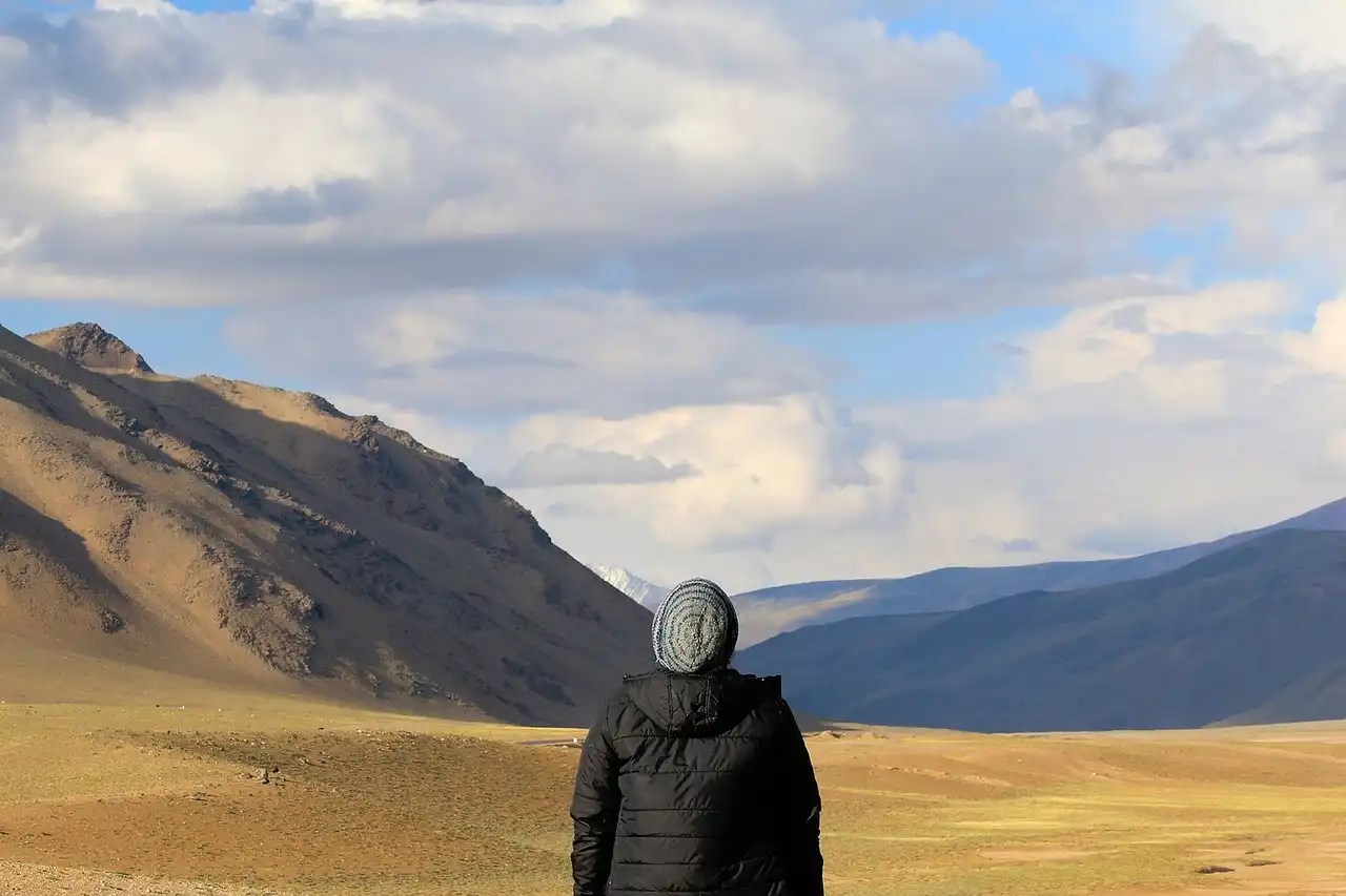
It’s pretty mind-boggling, isn’t it? The ability to peer down from the heavens, witnessing everything from the majestic swirl of a hurricane to the intricate patterns of human civilization, all from the comfort of your couch. This access isn't just a cool party trick; it's a powerful tool for understanding our planet, solving problems, and fostering a deeper appreciation for the world we inhabit. Of course, with great power comes… well, you know the drill. The pervasive nature of satellite imagery does raise a few eyebrows when it comes to privacy. While companies usually blur faces and license plates in Street View, the very idea that a satellite can capture such detail from above is a tiny peek into our modern paradox: unprecedented access to information, often at the cost of traditional notions of privacy. But for the most part, the imagery available to the public is broad-stroke, meant for general observation rather than invasive surveillance. Ultimately, whether you're a curious kid, a budding geographer, a weekend adventurer planning a hike, or just someone who occasionally wonders what’s over that next ridge, there's a satellite view waiting for you. So go ahead, open up one of these tools. Zoom in on your childhood home. Find that famous landmark you’ve always wanted to see. Or simply drift over a remote mountain range, imagining the vastness below. It’s a magic trick performed by science, and it reminds us that even in our crowded world, there’s still so much to explore, often just a click away, high above it all.
Jackie Chan: Still Active at 71, From Spider-Man to Karate Kid: Legends
a year ago

Samsung Galaxy S26 Ultra: New Design, 200MP Sony Camera, and Future-Proof Battery
a year ago

Skibidi: How a Funny Dance Turned Into an Absurd Meme Phenomenon
a year ago

Parkinson's Disease: Beyond the Shake, A Glimpse Into the Labyrinth
a year ago
Millennials: Decoding the Generation That Changed Everything
a year ago

Rampage Jackson Faces Fallout After Son’s Controversial Wrestling Attack
a year ago
Aura Farming: The TikTok Phenomenon of Planting Good Energy and Virtual Gardens
a year ago

From Sleeper Hit to Global Sensation: Melly Mike’s “Young Black & Rich” and the Pacu Jalur Phenomenon
a year ago
A Complete Review: What are Google's Main Features and Pioneering Technologies that have been introduced in the Pixel 10?
a year ago

Justice with a Human Touch: The Unforgettable Courtroom of Judge Caprio
a year ago